
Ground Truth:
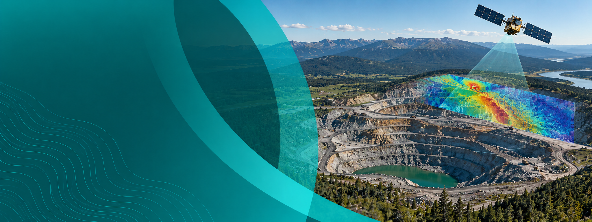
InSAR Monitoring
2hrs of learning | Self-paced | certificate of completion
Our founding partners





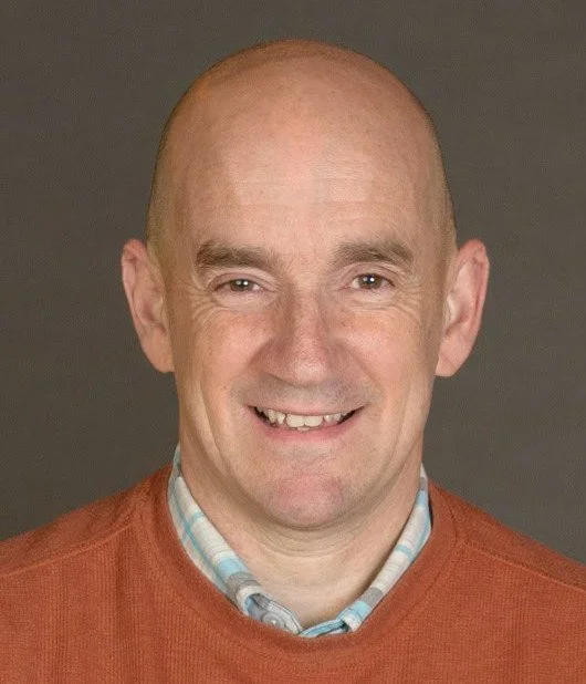
Meet Our Instructor
Dr. Jon Leighton
Jon is an experienced InSAR scientist and geodesist with 7 years academic experience and a further 14 years commercial experience with 3vG. Following InSAR focussed master’s and doctoral degrees at the University of Nottingham, Jon worked as a postdoctoral research fellow and lecturer in InSAR and geodesy, joining 3vG in January 2012. Jon has since processed and managed many varied InSAR projects, with applications ranging from oil and gas, open pit mining, landslides, pipelines, transport infrastructure, permafrost, and urban monitoring. Jon has conducted InSAR related fieldwork at sites in the US, South America and Africa, as well as many remote communities in the Canadian Arctic. Jon has been leading the operations group at 3vG since 2018, providing technical oversight for all commercial InSAR projects. He also lectures InSAR for mining for the University of Arizona.
Prior to academia from 1989 to 2004, Jon had a fifteen-year career in the British Army as a geodetic surveyor, planning, conducting and managing fieldwork for geodetic projects worldwide.
Director of Operations, 3VGeomaticsNine chapters, from orbit to alert.
Introduction to satellite SAR
From early radar and SLAR to Seasat in 1978 and today's small constellations
X, C, and L bands — why longer wavelengths see through vegetation
TerraSAR-X, Sentinel-1, and NISAR compared: repeat, resolution, and data access
Processing interferograms
Removing the flat-Earth ramp and topography using the site's elevation data
Modelling the hydrostatic (dry) atmosphere against elevation
Filtering the wet atmosphere and referencing results to stable ground
SAR signals and geometry
SAR as an active, coherent sensor
Ascending and descending passes, sun-synchronous repeats
The synthetic aperture
Backscatter, surface roughness, and incidence angle
Shadow, foreshortening, and layover on pit walls
Multi-temporal processing
Designing an interferogram network — 16 images, 65 pairs up to 55 days
Coherence-driven adaptive filtering and weighted least squares for residual topography
Converting phase to displacement time series — one TerraSAR-X fringe is 1.55 cm
Introduction to InSAR
From the 1992 Landers earthquake to permanent scatterers and routine mine monitoring
Phase, and the interferogram as the fundamental observable
Perpendicular baseline, topography, atmosphere — every effect that shifts phase
Phase analysis
Phase ambiguity and the InSAR speed limit
Phase unwrapping as 2D fringe counting, and why errors underestimate
Satellite InSAR versus ground radar, and L-band for large events like the 2019 SoCal earthquake
Want the complete geotechnical mastery?
This module is module 8 of Ground Truth: Geotechnical Instrumentation & Monitoring — 14 modules, 20+ global experts. Every dollar you invest here credits automatically toward the full masterclass whenever you're ready to upgrade.
100%
tuition credit toward the masterclass
Ready to Elevate Your InSAR Monitoring Competency?
Join engineers, consultants, and safety professionals advancing their technical skills through Ground Truth's rigorous curriculum.